Monday, 05 – 02 – 2007.
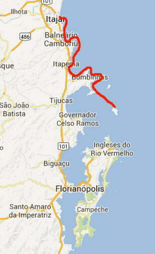
During this trip, we are going to shoot the shore of every bay and creek from here to the capital, Florianopolis, on the island of Santa Catarina.
Tuesday, 06 – 02 – 2007.
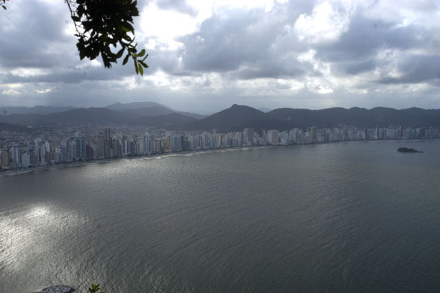
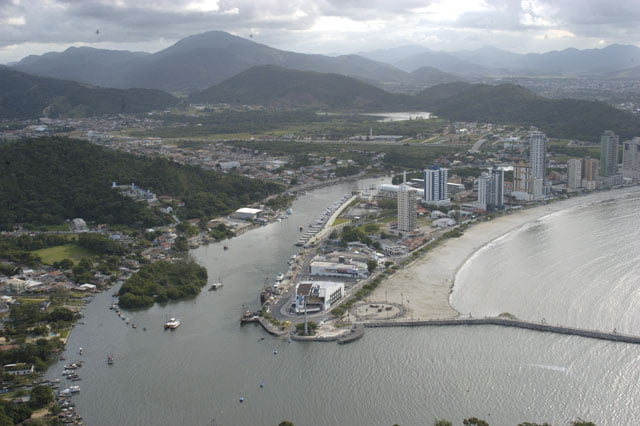
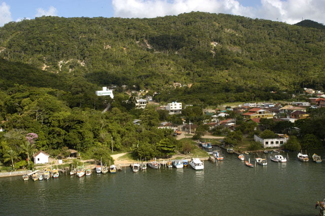
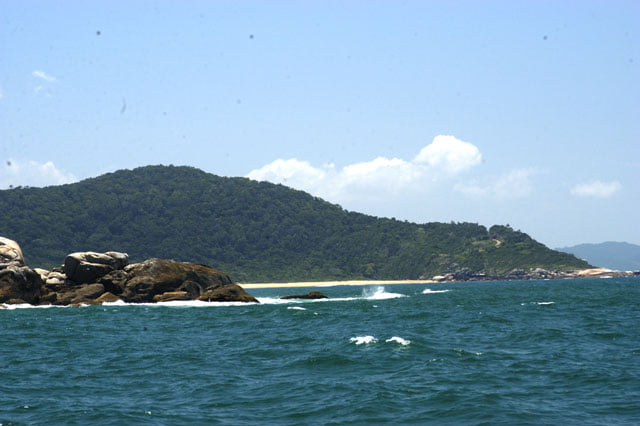
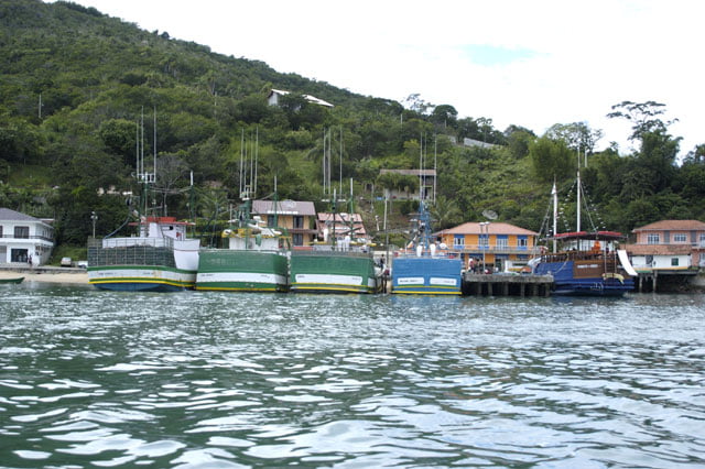
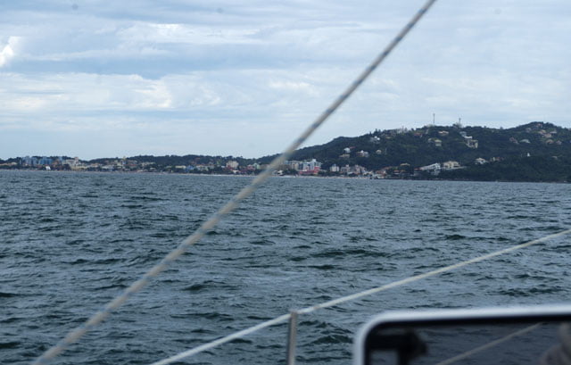
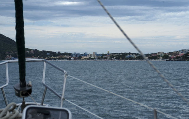
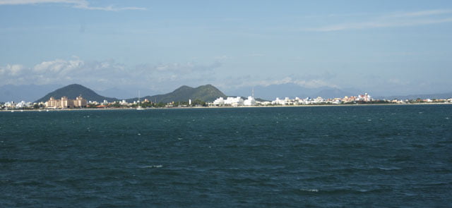
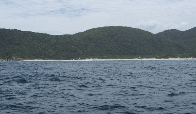
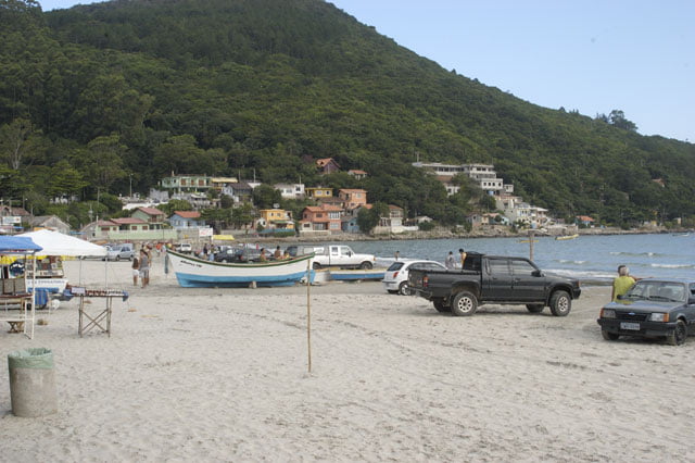
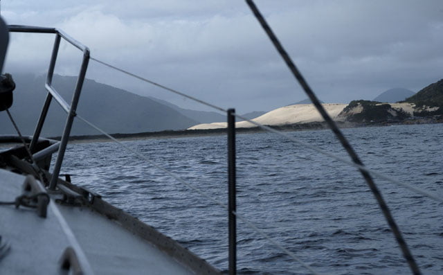
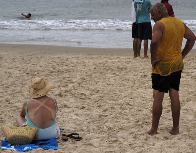
The creek of Camboriu, that’s where we are now, is 10 miles in the south of Itajai. This is where most people come. The occupation dates from the seventies and it was amazingly intense. The cement wall on the coast line is similar to Guaruja’s on the coast of Sao Paulo.
The district has 75 thousand inhabitants who live in 24 thousand homes. 82% have waste system (IBGE, 2000), a percentage above the average which could make readers believe “it is O.K”. However, on holidays and vacation the population is more than four times higher. It is multiplied by ten! There is no waste system for all those people (plus the garbage). What about the landscape? It was devastated and replaced by a continuous row of buildings from one end to the other. Part of our program was devoted to this issue in order to call people’s attention; after all, showing the occupation of the coast from the sea has been our goal from the very beginning. And then we sailed to the next bay, Porto Belo’s, ten miles southwards.
We sailed along the contour of Laranjeiras end and then Taquara’s, we headed for the back. Porto Belo is a few miles ahead.
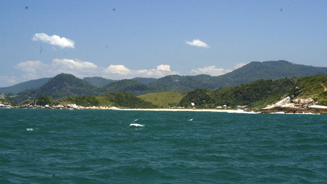
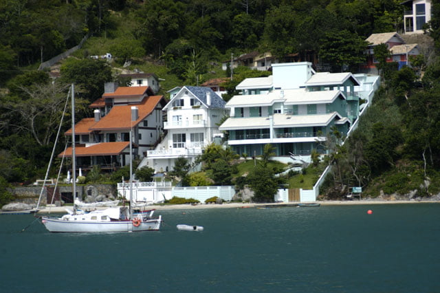
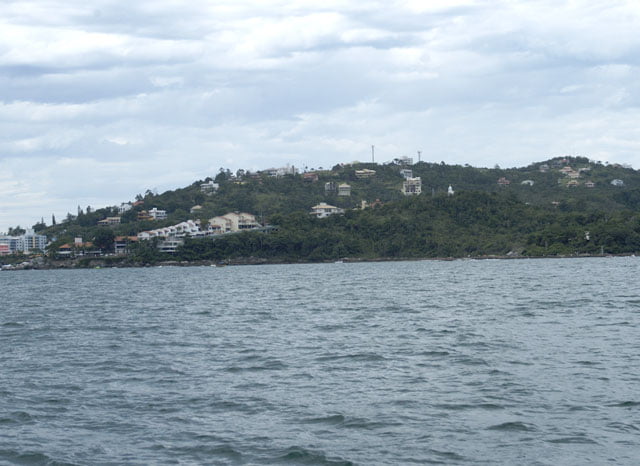
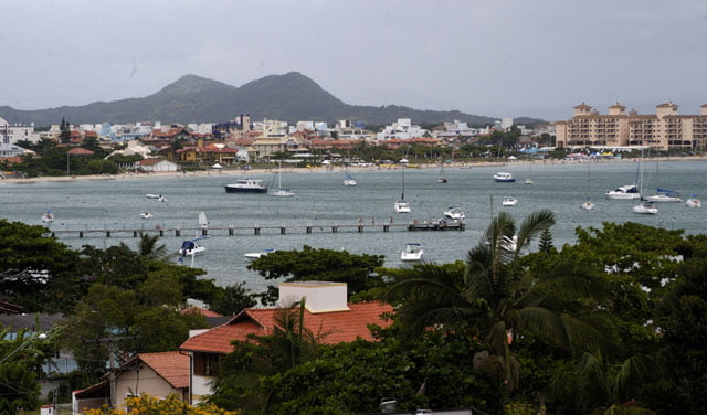
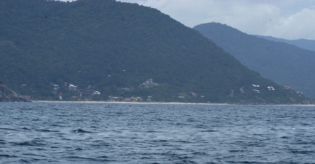
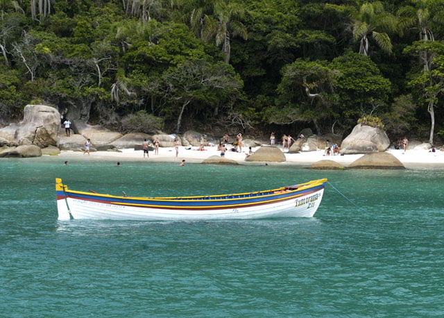
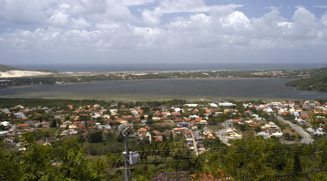
There are several beaches with hills around and the Atlantic forest behind. Wonderful colors. The sea, for instance, is light green, a very particular green, different from that of the Northeast. Houses are short, but there are buildings at the beach too. Peninsulas are dotted by summer houses climbing up the slopes. Most of them are not built in a way which protects the landscape.
Devastation is big. Just a few angles were spared. Porto Belo beach which is the most well known in the area has as many buildings as Camboriu. Infrastructure is almost insignificant: only 1.7%, that is 54 homes out of 3,000 where eleven thousand inhabitants live have waste system (IBGE 2000). This means a massacre for the maritime life chain which depends a lot on the shore.
After having sailed for three hours, we anchored in the interior of the creek of Estaleiros.
A barbecue was waiting for us.
After the banquet with meat and wine, I brushed my teeth and prepared myself to go to bed, when I heard a strong blast. Right away, the sailboat has almost lain. A thunderstorm! It had just started.
I got out immediately. Alonso had already turned the motor on and was removing the awning. Cardozo was helping him. Very strong blasts came underneath, hit the sails and made the boat lie sideways and drag the anchor. Beside us, there were other boats anchored, a few fishing boats and even a platform restaurant.
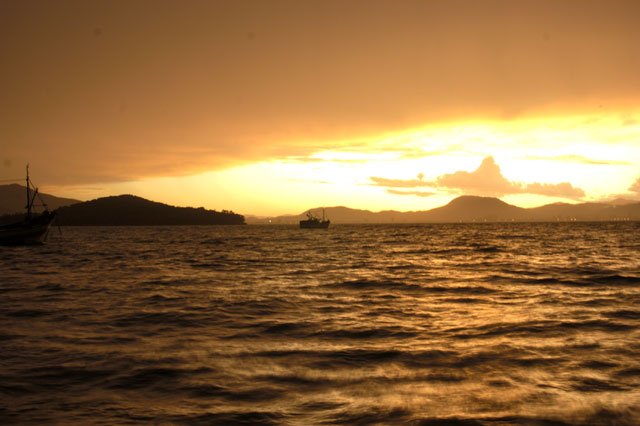
I grabbed the rudder and accelerated. It was a strange scene: the sun was going down and the show of the apocalyptic chaos of the wind was above us. Furious blasts came down through hot and cold chaotic gusts. Maximum speed was necessary just to keep the boat upright against the wind. It started to rain. Water poured strongly from the sky and came from all directions, including underneath. Blankets of significant size detached themselves from the surface of the sea beaten by a strong gale and blasted in the air with chalk white splashes. Behind us, like lightning, I could see the dark yellow color of the sun go down. Like in a picture, a little bit over our heads, a black mass of thick and heavy clouds danced a tango at the whim of the currents. I had never seen clouds moving so fast from one side to the other. In the twilight, visibility was impossible a few meters ahead. For a few moments the situation was bad. Wind went up from 50 to 60 knots! The big and heavy cushions of the cockpit flew like sheets of paper. Meanwhile, at the prow Alonso showed the angle of the current of the anchor so that I accelerated in that direction to loosen it. After the awning was removed, Cardozo shot the chaos calmly. And Paulina watched everything from the cabin. We were all calm. We got used to this type of thing and are immune to critical situations.
The absurdity lasted about 30 minutes. It was terrifying for a lay person. Suddenly, at the peak of the violent storm, everything calmed down. And then it stopped. Silence. Immediately, the horizon and part of the sky were uniquely live yellow.
We anchored again and went to bed. But alert. The South had warned us: it is wise to be alert.
Wednesday, 07 – 02 – 2007.
This morning the sky has gone definitely gray. Heavier masses, black clouds could be seen afar from where slightly conic spirals of wind emerged and went towards the sea. There were three of them, about ten miles away. One on larboard, the other in the middle and the third on starboard.
One more warning not to fool around. The day was requiring from us to be constantly alert. If there is another storm, I hope it is in the middle of the sea, far from earth and other obstacles, it is always much safer.
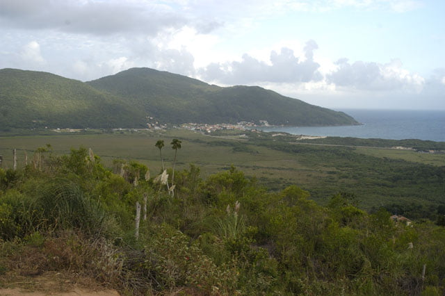
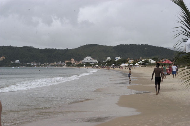
We shot from the support boat and went to another creek nine miles downwards. We were going to visit Bombas and Bombinhas, two fads on Santa Catarina’s coast.
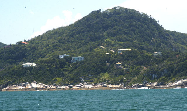
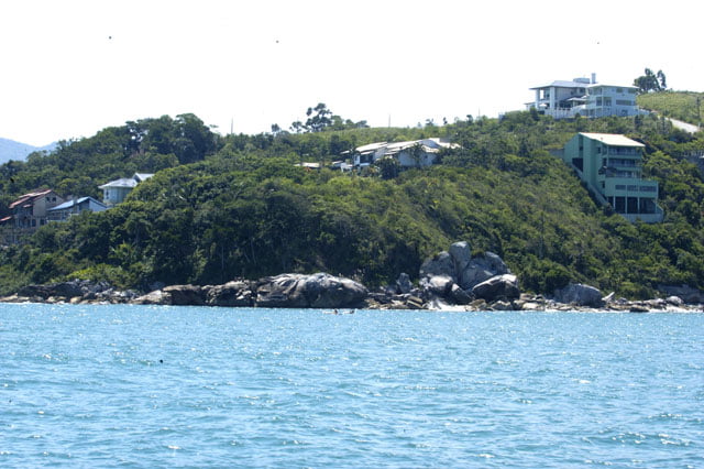
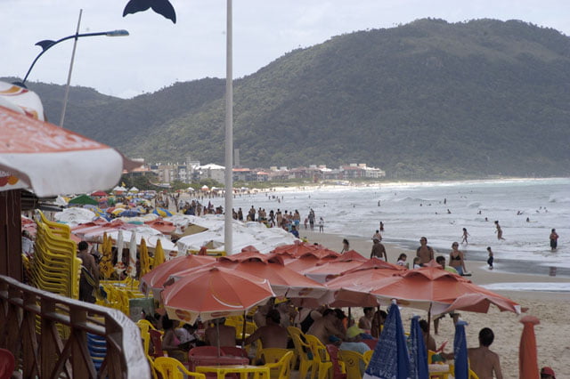
When we arrived, we were disappointed again. One more time, the buildings on the beach, the houses on the slopes of the hills, amputated what had been a wonderful coastal contour.
It is shocking to realize how severely damaged this part of Santa Catarina’s coast is. On our last trip, when we talked to biologist Ana Maria Rodrigues from CEPSUL, she mentioned the devastation of the coast. I was astonished anyhow when I saw such beautiful places like Bombinhas, Porto Belo and Camboriu and found out the depressing situation.
As we sailed outwards to the Arvoredos Island, I thought about how difficult it was to show this part of the coast without mentioning this brutal occupation; consequently the degradation and trivialization of the coast line.
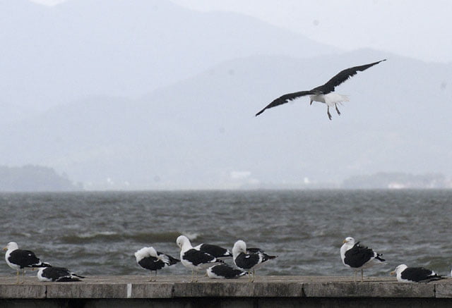
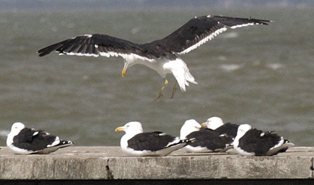
Damage is so evident that everyone sees it (see pictures).
Tomorrow, we will land on the island and visit a part of the north coast of the state which hasn’t been devastated yet.
We have already anchored at the island and are rocking a bit due to south winds from 18 to 20 knots.
Thursday, 08 – 02 – 2007.
What a terrible night! The anchored Endless Sea mounted waves uninterruptedly. One after the other and they got bigger. Cracks, creaks and noises of all sorts followed the lurches in the cabin; the sound was amplified by the wood and a few breaches.
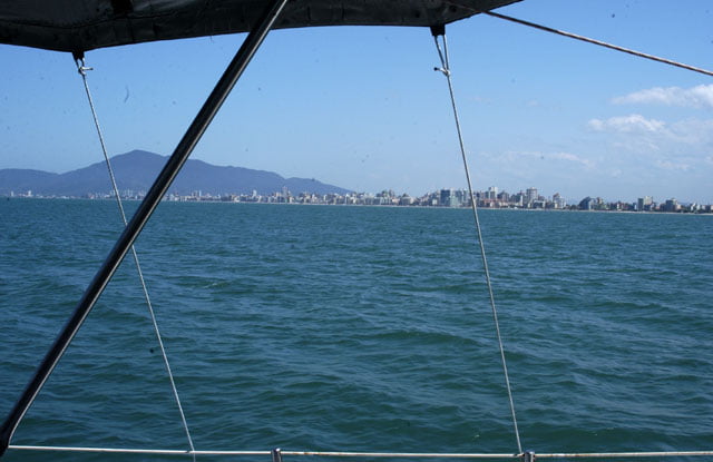
It was a nightmare. I can’t think of a worse night. As soon as dawn broke, we turned the motor on and went right away to Veleiros da Ilha Yacht Club, in the inner part of the island, protected from the wind.
Cisne Branco, the sailing ship of the Navy of Brazil, whose skipper I interviewed in Fernando de Noronha, was in front of Canasvieiras beach. I took some pictures and went to bed, it was not rocking and deliciously refreshed by the wind. I slept all the way until we arrived at the club.
The view which we were unable to shoot from the boat we are going to register on earth.
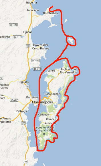
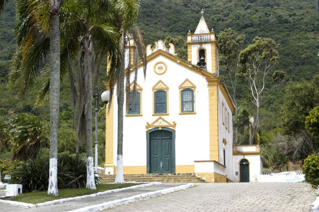
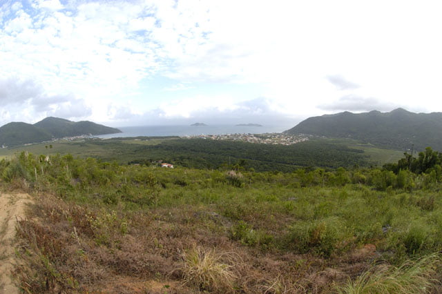
I rented a car immediately and went to the south end of the Santa Catarina Island, the least occupied part and not yet devastated by real estate speculation. We went to Ribeirao da Ilha, a bucolic neighborhood of old fishermen with influences from the Azores. We had lunch in a nice bistro, Restaurante do Frances, in an old warehouse.
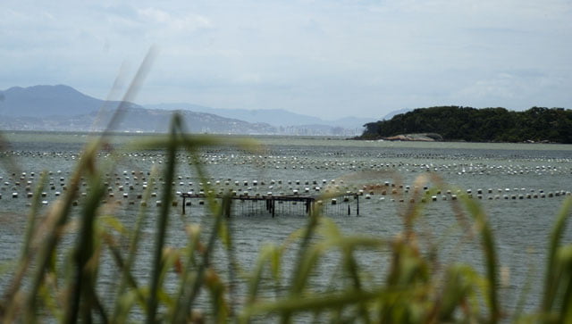
Beaches are very narrow, there is only a thin strip of sand and right in front of it huge oyster and mollusk breedings. We went all the road down and crossed one more neighborhood, Armaçao, until we reached Ponta do Saquinho where the road ends.
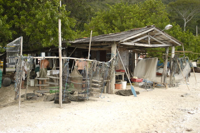
Afterwards we returned to Alto Ribeirao where a detour led us to the outer side of the Santa Catarina Island. We arrived at Pantano do Sul, a beach open to the sea where there used to be just a fishermen community. Today there are also tourists. Not the rich, who prefer Jurere’s lively atmosphere, on the north side; the “middle income class”, a smaller number of tourists compared to the rich, but who enter and park their cars on the beach.
We spent all the afternoon at the least visited part by tourists. This is the reason why we were able to have an idea of the geography and ecosystems of the south of Santa Catarina Island, with bays surrounded by hills covered by the Atlantic forest and valleys with reefs.
Friday, 09 – 02 – 2007.
It is cloudy, there is a south wind blowing and it is raining.
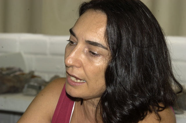
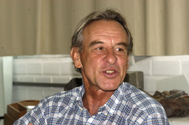
We spent the morning at Santa Catarina’s Federal University and talked to two professors, Janete Abreu who teaches coastal morphology, and Joao Carlos Rocha Gré, whose field is maritime geology.
I summarize here what was said: in general, both are concerned about the lack of planning and the frenetic occupation growth of the beaches during the last years. Janete says that “we already have a legislation on this issue, the 1994’s Legislative Act of Coastal Occupation; however, nothing can be done in regard to consolidated areas.”
She seems discouraged when she makes comments on the occupation of the north coast, especially the bays we have visited. She puts emphasis on the poor infrastructure and the complete absence of sanitation in some districts where the population doubles in the summer season. And she says in a resigned way that “people are not aware of the situation and the business community and public authorities are not interested”. “There is no planning, they want everything right now.”
Well, we’ve seen the result.
I asked about the problems on Santa Catarina Island caused by the unsuccessful occupation. She mentioned several aspects which cause alarming consequences especially at the present moment under the impact of the new report of the Intergovernmental Panel of Climate Change (IPCC). From erosion to the contamination of fresh water reservoirs.
“Here in Florianopolis (due to the erosion caused by the occupation of movable areas) Ponta das Canas, which is the next area after Canavieiras beach, has already been filled with earth; however, it was a superficial project in the nineties. The first undertow swept everything away.”
She says there are new projects for Camboriu, Jurere, Ingleses and Canasvieiras beaches. “But they are very expensive and who is going to finance them?
She explains that the high cost is due to the complex aspect of previous studies as well as the action which requires, for instance, the replacement of sand grains of similar size and amount.
Damaging is easy. It is really worse, extremely expensive and sometimes ineffective to try to find a remedy after the damage was caused. If you prefer the academic expression, this is the result you get when you block, stop or change the “dynamic balance” of nature itself.
40% of our coast has the same problem (Source: Erosão e Progradação do Litoral Brasileiro, a book organized by Dieter Muehe from the Environment Department).
Can you live with that?
Most reasons have to do with “anthropic change” due either to ignorance, which happens quite often, or to bad faith.
“Professor, and what about the contamination of water reservoirs?”
The island has just a few sources of water. In the south there is the Peri Lagoon which supplies that area. In the north, there are Campeche and Ingleses coastal aquifers. She also says: “they are the waters refrained by the dunes and filtered by them which accumulate at the base. However, the uncontrolled occupation of the neighboring area is bringing troughs which don’t operate well and cause the contamination not only of the scarce fresh water but also of the sea water where they swim.”
Professor Gre was listening and said: “indigenous people, fishermen are those who devastate the environment the least.”
We know that and have put emphasis on it on the logbooks and programs in order to make people think about the occupation model which has been imposed. If we do contribute, even if it’s just a little, I’m sure it’s worthwhile.
And then we talked about the usual issues: little funds available for inspection agencies, that is Ibama; consequently, its ineffectiveness; lack of information, real estate speculators’ organization and effectiveness, the ineffective administration in regard to removing irregular settlements… Well, we talked about Brazil.
Afterwards, we had lunch.
In the afternoon, we went to FTMA, Environment Foundation. We were welcomed by Ana Cimardi who is in charge of one of the several boards: the protection of ecosystems. So we continued to talk about our country.
I said that about 40% of the surface of the island is part of a conservation unit and I asked since when.
Ana explained that “the units date from the seventies and eighties, after 2003 four other units were created”. I asked about a management and operational plan. No, there isn’t any plan. It is impossible to justify it.
Anyway, she said that “the goal is to have a plan and advisory committees in all the units until 2008.”
Ana has good intentions but she has to deal with the public administration, its incoherencies and enormous needs. However, she does what she can and reacts firmly.
She wondered if we really have “the best environmental legislation” praised by the academic community and public agencies of the coast, considering it is unfeasible most of the time. She added: “public administration is not well equipped to inspect.”
She ended saying that the foundation must try to have “a better control of the intact areas and organize those which are already occupied.”
I wish them good luck.
It was dark when we returned to the boat. Cardozo and Paulina went to the club to have a shower. I skipped it.
The wind is still blowing strongly. This probably means we will go by car tomorrow.
Saturday, 10 – 02 – 2007.
Alonso came to the cabin before six a.m. to say that the wind had stopped blowing.
It took me some time to wake up, understand and realize we could sail again.
I waited for a while, turned to the other side to have an additional half hour sleep; and then I finally left the cabin and called the crew. Did they all agree to try? Sea conditions could be difficult, the wind had blown for three days uninterruptedly. They agreed and we put off.
As we left the yacht club we went southwards. We were going to circumnavigate the island from the south to the north, enter the bay again, sail under Hercilio Luz bridge and anchor at the club one more time.
Right after the lighthouse of the south end, which is low and full of slab, you must sail outwards, between Irmã-de-fora and Meio Islands.
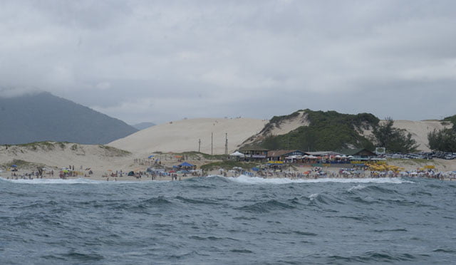
Afterwards, we passed the only unoccupied beach. And then we saw Solidão, Pântano do Sul and Campeche beaches. All of them extremely occupied.
We anchored to have lunch at Campeche Island. While Alonso was preparing “strogonof” (minced meat with cream sauce), Cardoso and I took the rubber boat and crossed beautiful baleeiras, rubber boats which bring tourists every morning; and then we went to Santa Catarina to shoot Campeche’s dunes, whose fresh water reservoirs have been contaminated.
And then we returned, had lunch and lifted anchor to go to the entrance of Conceição Lagoon to visit it. However, when we arrived, it was the end of the day and a new mass of black clouds was coming. After a while, it started to rain.
We aborted our plans and went to the Yacht club again. It was the end of our day.
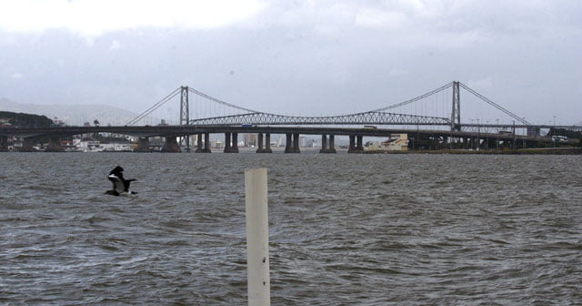
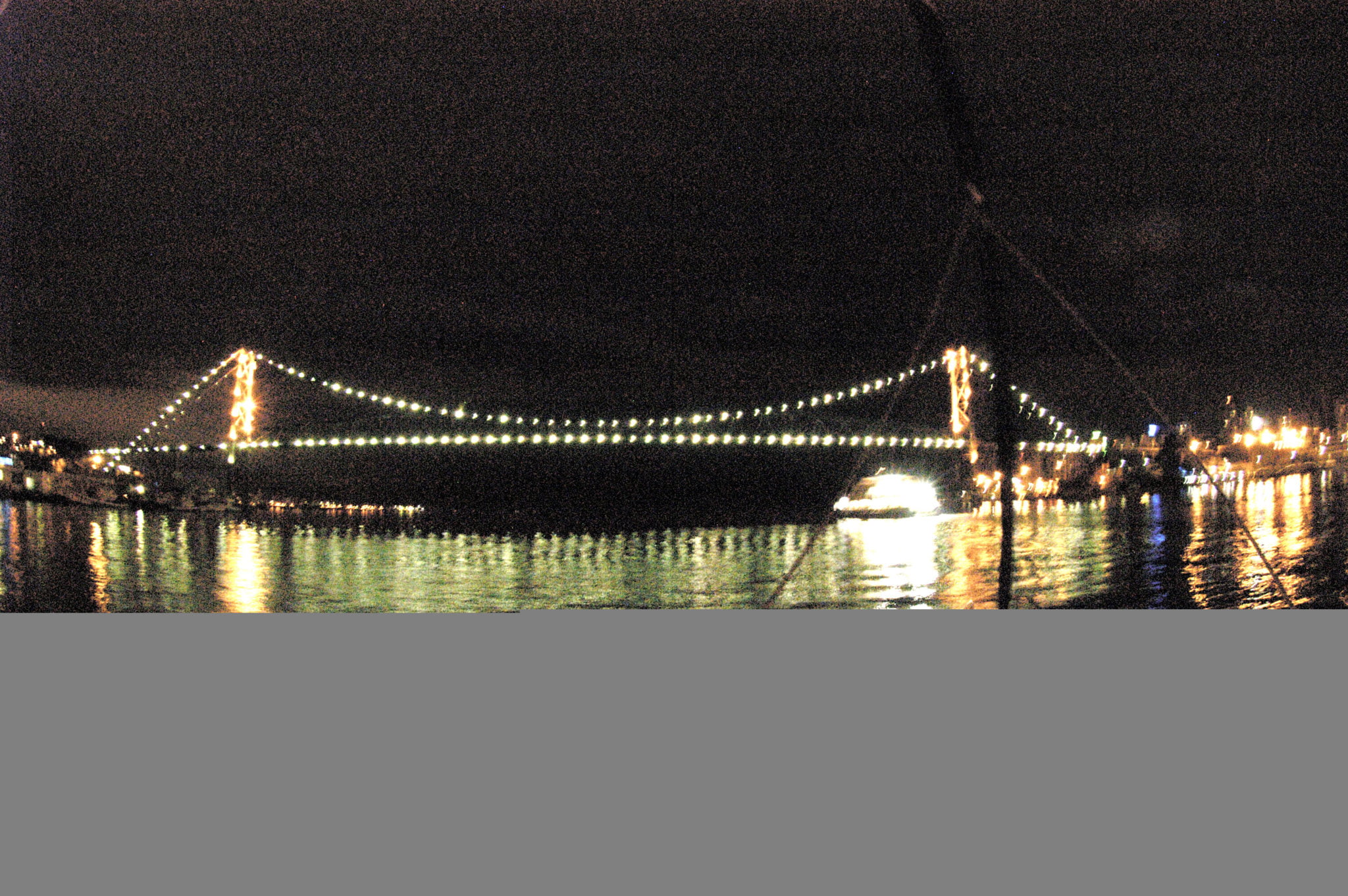
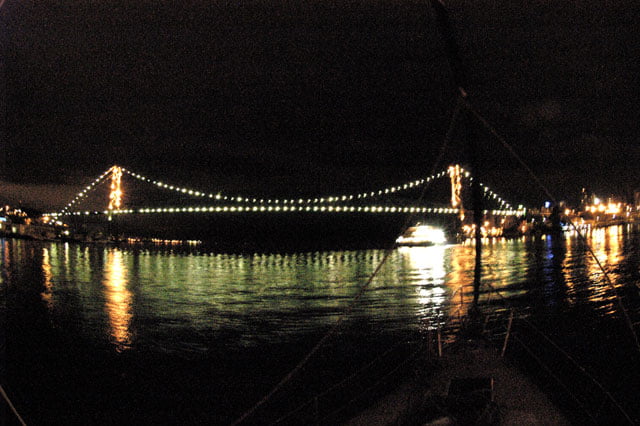
We passed under Hercilio Luz bridge at 10 p.m. and then we anchored.
We had a good bath and went to bed.
Monday, 12 – 02 – 2007.
Before taking the plane to São Paulo, this morning we shot Ingleses beach and Jurere. We wanted to show closely the intense occupation, the lack of infrastructure, the troughs near aquifers, etc.
Mission fulfilled.
On our next trip, we will see the south coast of this state.